Bespoke Aerial Data
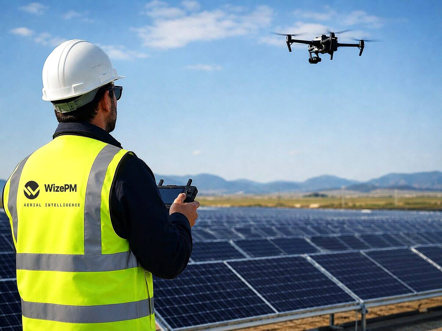
Custom Aerial Intelligence
Our roots are in UAV operations, not a single industry. When you need data you cannot get from the ground, we scope the flight, capture it with thermal and high-resolution imaging, and turn it into something your team can act on, using the same analytics partners and reporting standards as our energy work.
- EASA-authorised across all 27 EU member states
- IEC TS 62446-3:2017
- DCAC-registered
- Fully insured
What we take on
- Construction monitoring: progress orthomosaics, earthworks, and as-built verification
- Infrastructure and rooftop inspection: thermal and visual condition assessment
- Volumetric and stockpile analysis: accurate volume measurement from the air
- Aerial partner for surveyors: we handle the flight, you get engineer-ready outputs
- Post-storm and insurance documentation: rapid, structured aerial evidence
If aerial data could answer your question, it is worth a conversation. Tell us what you are trying to see.
What the output looks like
Real findings from real inspections.

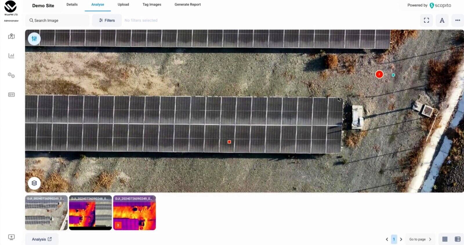
Analysis and reporting delivered via leading inspection platforms.
See exactly what the output looks like.
Book 20 minutes and we will walk you through a real custom solutions report on a real site, so you can judge the quality before you commit to anything.